Significant Snowfall Projected for Parts of Montana and Wyoming
The National Weather Service forecasts a late-season winter storm, set to bring substantial snowfall to portions of Montana and Wyoming through Thursday. This system could result in more than a foot of accumulation in mountainous areas.
Impact of Late Spring Snowfall
While snow in high elevations during May isn’t rare, the timing and intensity of this storm emphasize the persistent winter conditions extending into late spring. Heavy snow can disrupt travel in mountain corridors frequently visited for recreational activities. It may also affect early-season outdoor activities and influence local economies.
Moreover, accumulating snow coupled with temperature fluctuations poses the risk of unstable conditions in higher terrain. This can increase hazards, such as avalanches or delayed runoff impacts later in the season.
Weather Alerts and Forecasts
The NWS in Billings has issued weather alerts for regions across Montana and Wyoming.
Montana Winter Storm Warning
In southern Montana, a winter storm warning is active from 6 p.m. Wednesday to 6 p.m. MDT Thursday. It covers the Absaroka and Beartooth Mountains, including the area around Cooke City.
North-facing slopes above 7,000 feet may experience heavy snowfall, with total accumulations ranging between 8 and 13 inches. Winds could gust up to 30 mph. The NWS advises travelers to prepare for challenging conditions when trekking into these mountainous regions. Essential items to carry include extra food, water, and a flashlight.
Weather maps from windy.com illustrate where the most intense snowfall is expected over the coming days.
Wyoming Winter Weather Advisory
A winter weather advisory is in effect from 3 a.m. to 9 p.m. MDT Thursday for the Pryor/Northern Bighorn Mountains in Montana and Northeast Bighorn Mountains in Wyoming, near Burgess Junction and Story.
Snow accumulation between 5 to 10 inches is anticipated, with wind gusts similarly reaching 30 mph. The advisory highlights potential travel difficulties, particularly during morning and evening hours.
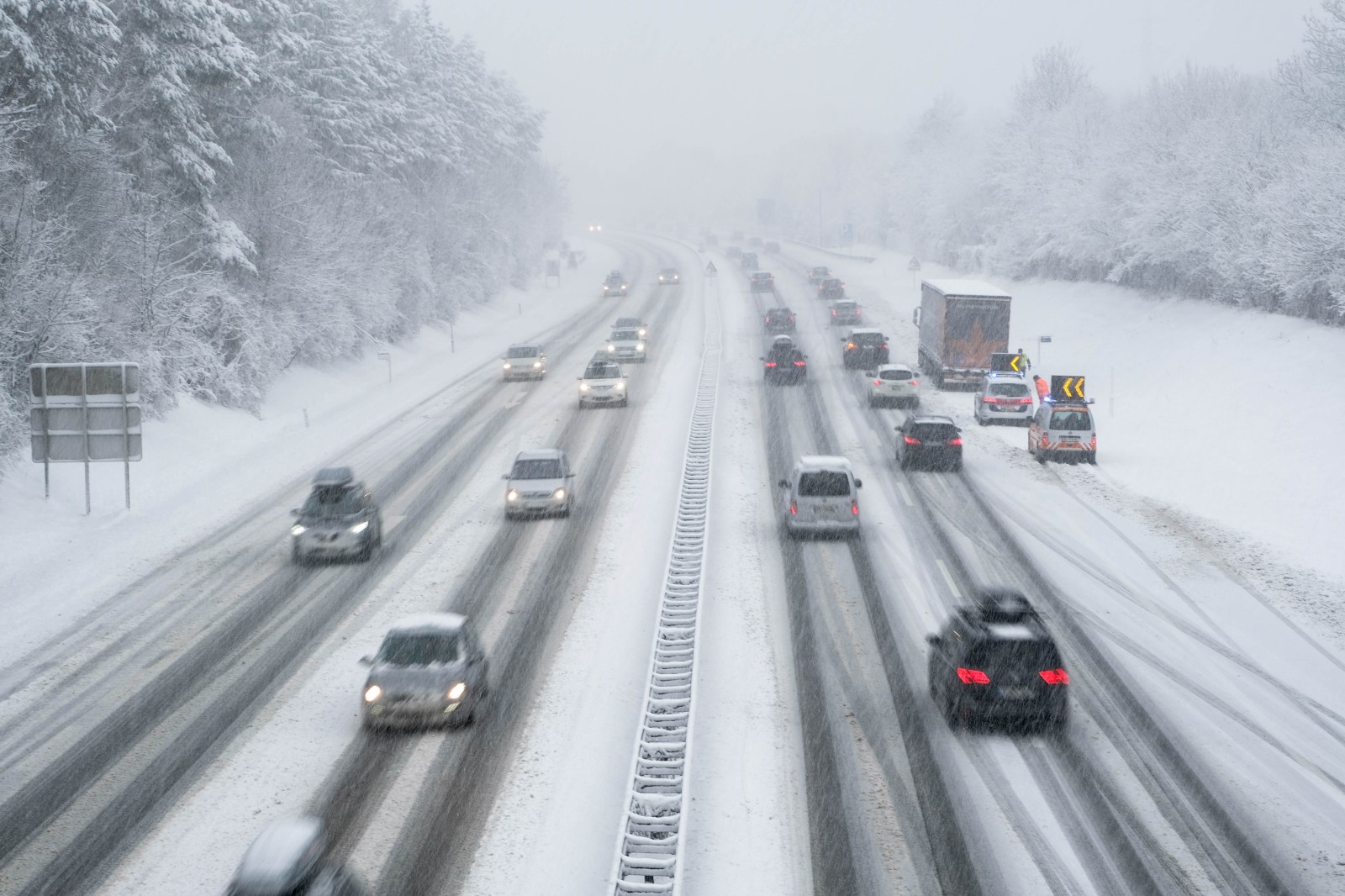
Roadways, such as U.S. Route 14, might become slippery and hazardous due to snow and wind. Drivers should reduce speeds, exercise caution, and stay informed of rapidly changing conditions. Officials strongly recommend checking road status and updated weather forecasts before traveling.
Thunderstorms and Rain Forecasted
While high elevations brace for snow, lower regions expect thunderstorms and rain as a cold front advances. “Showers and weak thunderstorms will spread south and east over the area this afternoon and evening,” the NWS in Billings shared on X. Potential impacts include gusty, erratic winds, small hail, and periods of heavy rainfall.
Cold Weather Reaches Great Lakes Region
NWS offices across the Great Lakes are issuing frost advisories and freeze warnings. These alerts affect northeast Minnesota, northern Wisconsin, and northern Michigan locations, including the Upper Peninsula. Freeze warnings, indicating more severe conditions than frost advisories, are currently active in Michigan.
Weather footage from windy.com displays the region’s shift to colder temperatures.
Precautions During the Storm
Both weather alerts are set to expire by Thursday night. Residents and visitors should take the following steps during the storm:
- Stay informed: Regularly check updates from the local NWS and state DOT road reports.
- Adjust driving habits: Significantly reduce speed. Spring tires do not offer adequate traction on late-season snow.
- Pack the essentials: Backcountry trips require waterproof layers, heavy thermal gear, and an emergency cold-weather kit.