
Flash Floods Pose Major Threat in Texas
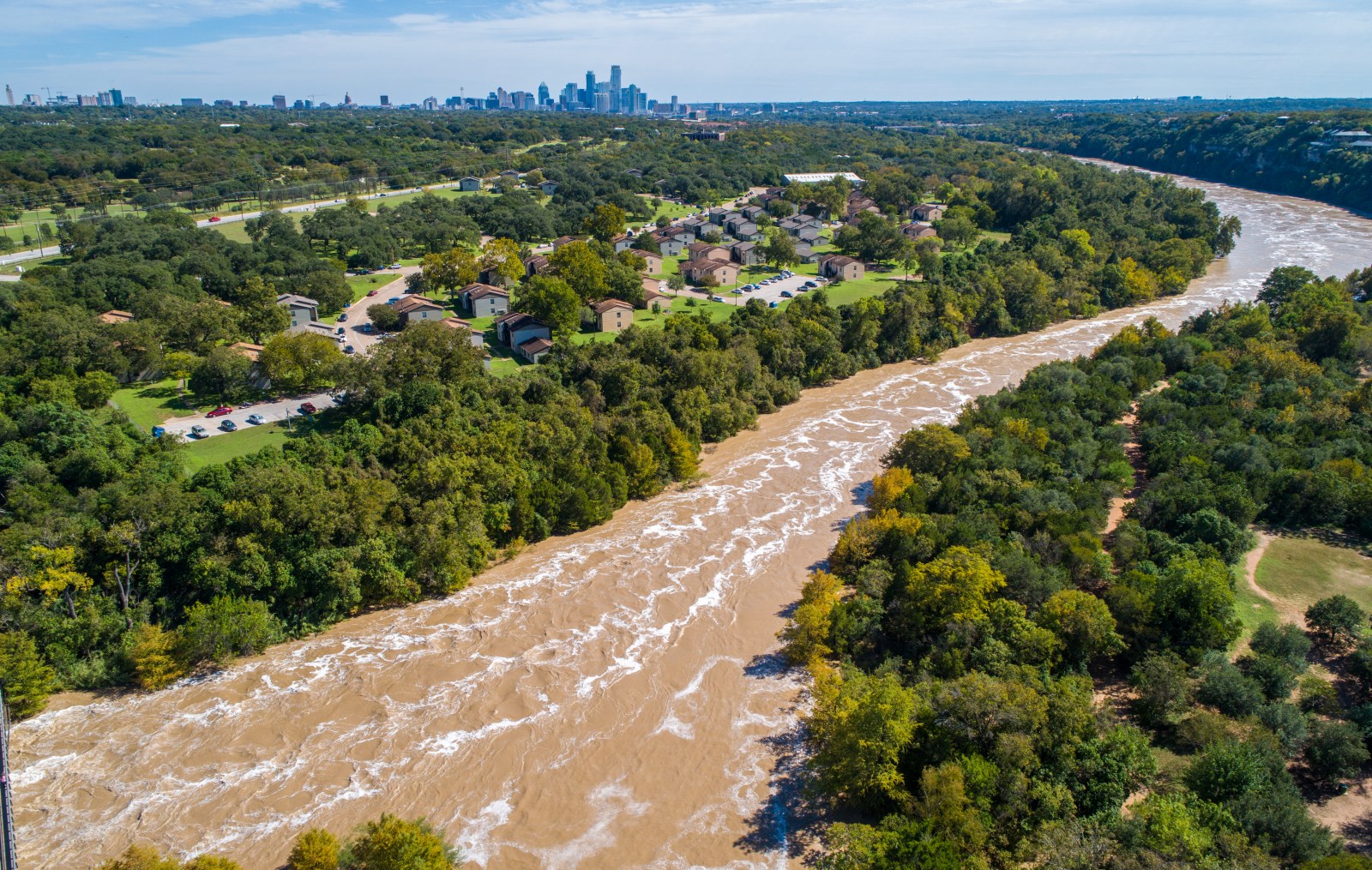
Texas is experiencing a severe weather event with the potential for dangerous flash floods. Meteorologists caution that some regions could experience over a foot of rainfall through Wednesday night. Numerous flash flood warnings are currently active.
Flooding: A Deadly Weather Hazard
Flooding ranks among the deadliest weather phenomena in the U.S. Over 100 people die annually due to floods and flash floods, often surpassing tornado-related fatalities. Most fatalities occur in vehicles due to sudden and powerful water currents, according to the National Weather Service (NWS).
Warnings Issued Across Large Areas
On Tuesday, the NWS extended several flash flood warnings covering the Texas Hill Country, parts west of San Antonio, and Central Texas. Affected areas include Uvalde, Medina, Bandera, Bell, Coryell, and Milam counties. Some warnings describe the potential flooding as “life-threatening,” with existing rain accumulations already reaching 5 to 10 inches in various places.
Meteorologist Insights and Concerns
CBS Austin meteorologist Avery Tomasco expressed deep concern over the forecast. He noted on social media platform X about possible “dangerous” conditions, citing the potential for additional 6 to 12 inches of rain through Wednesday night. South-Central Texas is particularly at risk, prompting a rare high-risk flash flood warning.
“Unreal. Extremely rare HIGH RISK for flash flooding now in place west of San Antonio to the Rio Grande through 7 AM Wednesday,” Tomasco shared.
An accompanying image in his post highlighted the threat of “catastrophic” flooding. The high-risk warning zone has expanded into Travis and Hays counties. The Weather Prediction Center reserves the “high risk” category for severe scenarios where widespread, significant flooding is expected.
Current Rainfall and Warning Notices
South-Central Texas has already seen heavy rain. By late Tuesday morning, northeastern Uvalde County had reported 5 to 10 inches of rain, with ongoing or imminent flash flooding. Similar conditions were recorded in Medina County, with 4 to 10 inches of rain.
Counties such as Bandera, Medina, Uvalde, Frio, Edwards, Kinney, and Zavala face “life-threatening flash flooding” warnings. Communities included in the affected zone are Uvalde, Concan, Sabinal, Knippa, Hondo, Medina, Utopia, and Brackettville.
The Austin/San Antonio forecast office emphasizes the importance of seeking higher ground and avoiding flooded roads. “Act quickly to protect your life,” they advised.
Central Texas Experiences Flooding
Further north, in Central Texas, heavy rain has also sparked flooding alerts. Communities like Temple, Belton, Harker Heights, and Salado in Bell County were under warning by Tuesday afternoon. Radar data showed consistent rainfall between 1 to 4 inches, with more anticipated.
Bell and Coryell counties reported up to 3 inches of rain, while Milam County saw 2 to 4.5 inches, per NWS data. Vulnerable areas include small creeks, streams, low-lying roads, and urban locations with a high potential for quick flooding.
Preparation and Resident Alerts
Forecast unpredictability remains high, but repeated thunderstorms could exacerbate conditions overnight. If high-end rainfall forecasts are accurate, already saturated soils may cause rapid water rise in creeks, road flooding, and severe flash floods.
Residents are urged to stay informed through forecasts, keep various ways to receive weather alerts, and be ready to relocate to safer grounds if flooding intensifies overnight.