
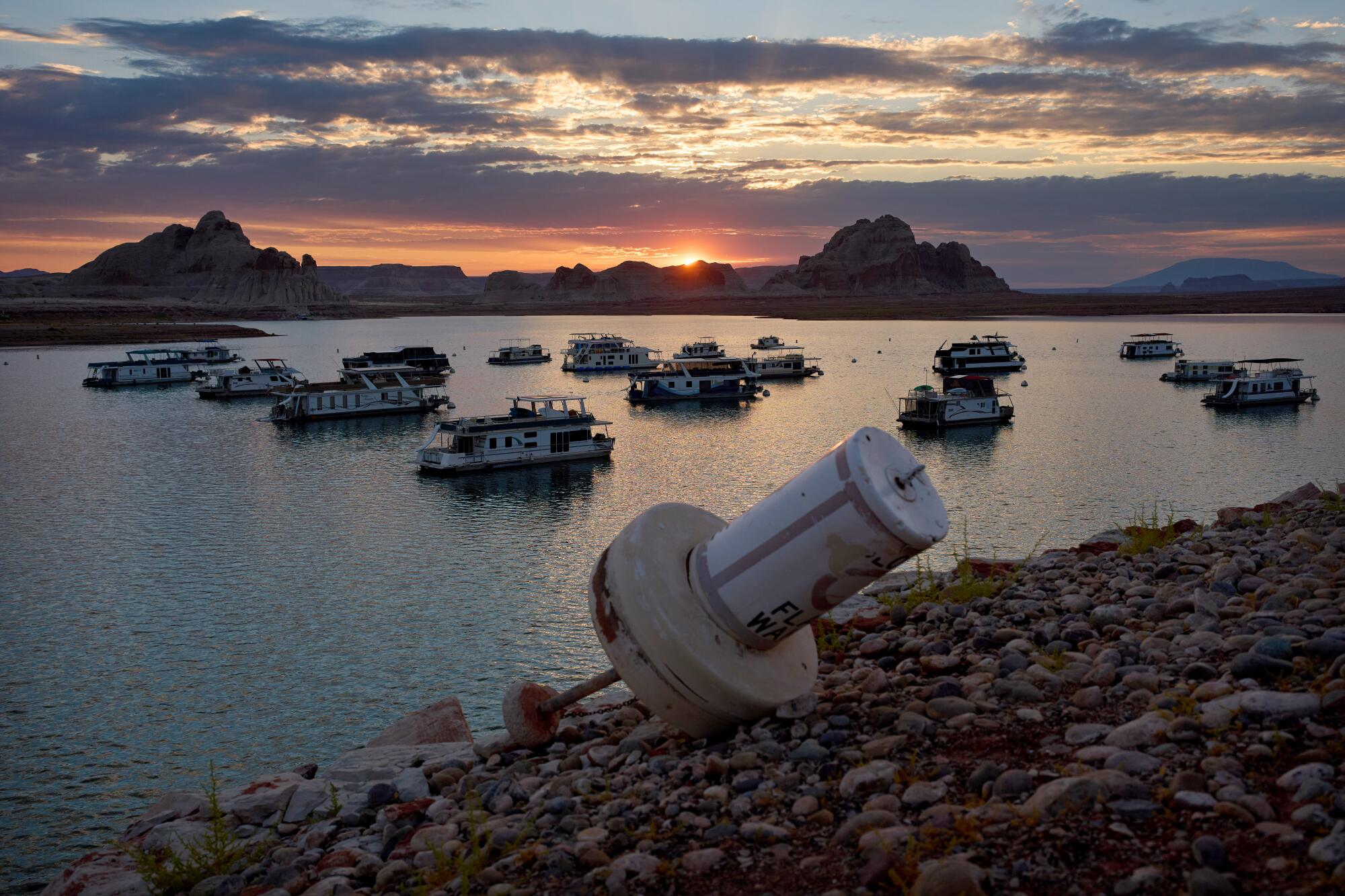
The formerly floating buoy at Lake Powell in the Glen Canyon National Recreation Area is now high and dry, highlighting the ongoing water crisis. The Trump administration unveiled its 10-year strategy to tackle the worsening water shortages along the Colorado River. The plan includes potential severe water cutbacks of up to 3 million acre-feet per year, affecting California, Arizona, and Nevada.
State and local officials, however, managed to negotiate a temporary compromise. For the next two years, they will reduce water intake by approximately half that amount, totaling 3.2 million acre-feet until the end of 2028. This agreement, for the time being, relieves the three states from the harshest cuts.
The plan seeks to mediate between the downstream states of California, Arizona, and Nevada, and the upstream states, including Colorado, Wyoming, Utah, and New Mexico. Andrea Travnicek, assistant secretary for water and science at the Interior Department, stated that the plan addresses “unprecedented hydrologic conditions.”
The agency referenced the challenges posed by drought conditions persisting over the past 25 years and anticipated continued dry conditions. The announcement did not address climate change directly, though extensive research links global warming to severe heat and dry conditions.
The two-year agreement stipulates that California, Arizona, and Nevada will cut their use of Colorado River water by 12%, 31%, and 28% respectively through 2028.
The Interior Department describes this approach as adaptable, allowing adjustments to changing circumstances on the dwindling river until 2036. The Colorado River is a critical water source for seven states and northern Mexico, but it has dramatically decreased since 2000. The prominent reservoirs, Lake Mead and Lake Powell, have hit record low levels this year.
New federal regulations were necessary this year, as previous ones expired. However, negotiations among the seven states have repeatedly stalled while reservoir levels continue to fall.
Scientists estimate that over the past decade, about half the river’s flow reduction is due to rising temperatures. For each 1.8 degrees Fahrenheit increase in regional warming, the river’s average flow likely declines by approximately 9%.
To stay informed on sustainability efforts in California and expand your understanding of climate change, energy, and environmental issues, you can subscribe to relevant newsletters and participate in discussions.
Reporter Ian James, who specializes in water and climate change topics, contributed to this story. Before joining the Los Angeles Times, he worked for the Arizona Republic and the Desert Sun, with prior experience at the Associated Press.