
Developing a Tree Assessment App
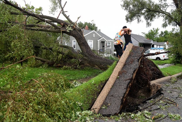
Joe Blockland, a professor at Indiana University Northwest, is guiding his students in creating an app to assess campus trees. His experience in tree servicing inspired him to adapt Geographic Information Systems (GIS) for practical applications. During recent storms, concerns about tree health arose, prompting students to examine over 400 campus trees for damage.
Mapping Tree Health
Blockland’s first-semester GIS students identify signs of damage, cracks, and disease in trees. They have mapped around 130 trees, refining their skills with each outing. The app’s effectiveness is keenly evaluated and has the potential for broader use in communities and campuses.
Categorizing Tree Damage
Students contribute to developing criteria for tree assessment, fostering interactive learning. These activities enhance local job prospects by teaching the GIS job landscape.
Application Development and Usage
Blockland’s app development focuses on user accessibility and utility. Categories for observation originated from student collaboration. This empowers learners to interact deeply with GIS content.
GIS and Community Applications
Blockland highlights the rising demand for apps that streamline data collection for diverse purposes, such as assisting government entities and nonprofits. Innovative uses include assessing culvert conditions and enabling citizen reporting of infrastructure issues.
Embracing GIS Technology
GIS technology rapidly changes, with advancements making mapping easier and faster. Blockland revises his classes to align with industry standards, preparing students for entry-level positions requiring GIS proficiency. These roles offer competitive salaries, increasing with experience.
Learning GIS at Indiana University Northwest
A GIS certificate program ensures students attain essential skills. Blockland’s comprehensive courses cover environmental science and GIS applications across disciplines, with art and psychology majors participating.
Advanced GIS Learning
The advanced class explores AI tools, preparing students for professional work with databases. Environmental GIS studies touch upon issues like flood mapping and damage estimation.
Automating GIS Workflows
Programming classes equip students to use Python for automation, streamlining tasks previously done manually. As technology evolves, students’ interest in GIS expands, supported by hands-on field work.
Doug Ross, the reporter, explores how these educational undertakings promise to cultivate student interest in GIS practices.