
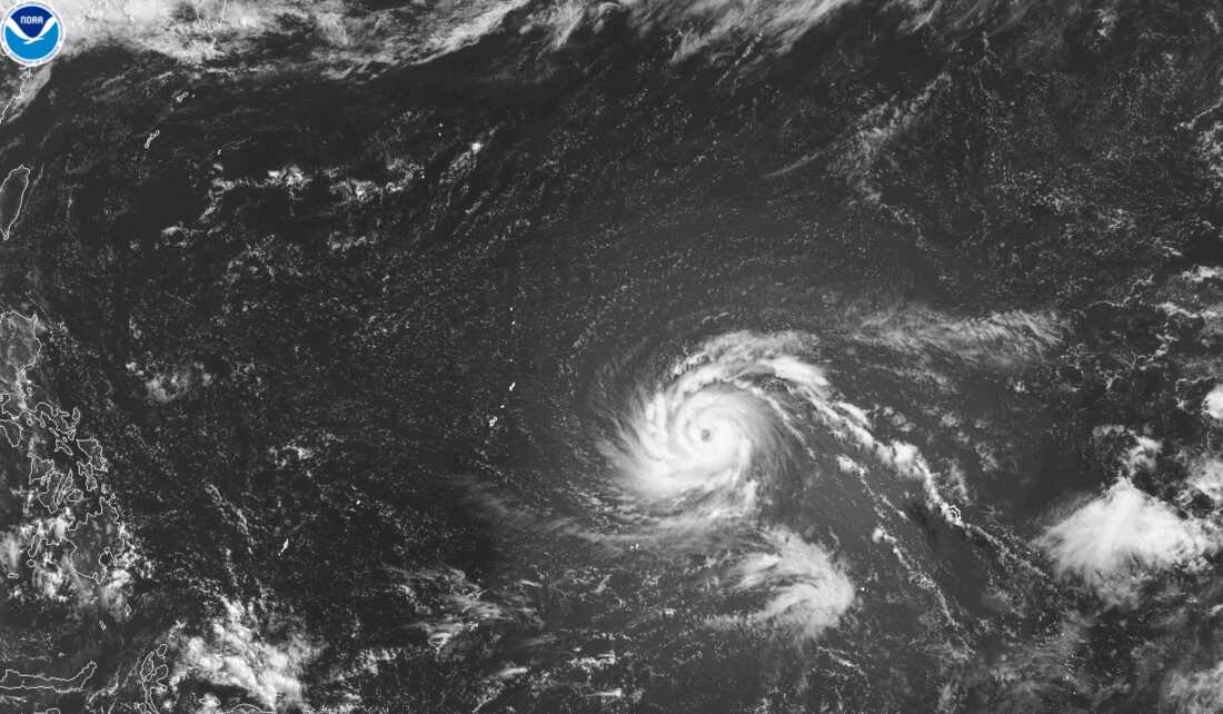

Residents in Guam and the Northern Mariana Islands brace for Super Typhoon Bavi, expected to cause severe damage. Forecasted to pass Monday morning, the typhoon could bring catastrophic impacts, as reported by Isla Public Media.
Typhoon Warnings and Preparations
The National Weather Service issued warnings for Guam, Rota, Tinian, and Saipan. Meteorologist Landon Aydlett, reporting from Guam, noted worsening weather with heavy rain and strong winds. “This is a powerhouse super typhoon and a grim outlook for islands facing a direct hit, particularly Rota,” he stated. Rota, northeast of Guam, anticipates near catastrophic conditions.
Predictions and Emergency Measures
Super Typhoon Bavi moves north at 165 mph, potentially strengthening to 180 mph, categorizing it as a major category five storm. Structural damage, fallen trees, and outages are foreseeable. Governor Lou Leon Guerrero urged residents to prepare and stay safe. Emergency shelters, nearing capacity, welcome residents seeking refuge, especially those in vulnerable areas.
Aydlett expressed concern for communities still recovering from Typhoon Sinlaku. “We have vulnerable communities in northern Guam,” he said. Saipan and Tinian, still grappling with power outages since April’s Sinlaku, faced shelter overcrowding.
Current Conditions and Impact
Guam reports power outages, canceled flights, and suspended port operations. Flash flood warnings span Rota, Saipan, Tinian, and Guam, including Dededo. Schools and hospitals face potential damage.
Aydlett emphasized the importance of residents staying put, saying, “People need to hunker down; it’s too dangerous to go out. We aim for zero fatalities.” Andersen Air Force Base limits access to essential personnel only.
Isla Public Media’s Dana Williams contributed to this report.