
The Marquette Greenway project is steadily advancing towards completion, despite facing challenging sections. Ten miles of the trail are currently under development and expected to be ready by next spring. This update was shared by Mitch Barloga, an active transportation planner with the Northwestern Indiana Regional Planning Commission (NIRPC) and a major advocate for the trail’s Indiana segment. He works closely with Rafi Wilkerson, who oversees parts linked to the National Park Service.
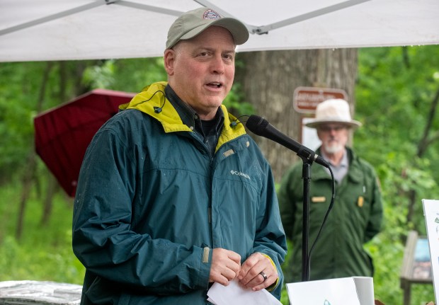
Recently, Barloga spoke at the Marquette Greenway groundbreaking ceremony in Burns Harbor and Porter, Indiana. When completed, the trail will extend around 60 miles from Calumet Park in Chicago to New Buffalo, Michigan. According to Barloga, by October, 39 miles are completed, nine miles are fully funded, and 12 miles have partial funding. Burns Harbor and Porter each manage sections of the trail and aim to converge at a mutual point, reminiscent of the historical connection between the east and west segments of the transcontinental railroad in 1869.
The Burns Harbor section will extend under the Norfolk Southern bridge across the Little Calumet River, reaching Beam Street in Porter. It will circle Indiana Dunes National Park’s Minoke Prairie, connecting to Howe Road’s trailhead serving the Little Calumet River Trail. Currently, this trail functions more like a footpath, but plans for the Marquette Greenway will create a proper trailhead.
Another segment extends to Broadway in Beverly Shores, deviating from the Calumet Trail corridor under the NIPSCO power lines. This change offers riders a more scenic experience and avoids the risk of disruption from NIPSCO work, thus sparking interest for federal funding. The route between Ind. 49 and Kemil Road is complete, with plans to finish the portion leading to Broadway this year.
Barloga highlights a need for seamless trails to accommodate avid cyclists like him and Wilkerson. The project currently faces a $30 million funding gap. The trail originates in Chicago, mostly north of the Indiana Toll Road, and track across U.S. 20. Enhancements include paving a bike lane across Canadian National tracks. Riders will enjoy the Seidner Dune and Swale nature preserve in Hammond.
An old South Shore Line bridge over the Indiana Toll Road awaits refurbishment for future trail use. Meanwhile, Michigan progresses positively, with only half a mile unfinished. The route allows riders to transition smoothly from Long Beach, Indiana, to New Buffalo.
Michigan City’s section stretches from Karwick to El Portal, approximately 2.9 miles, attributed to RAISE grant funding. Barloga anticipates construction within a couple of years.
“We face a state of limbo,” Barloga remarked, referring to the uncertain path extending from the NIRPC building in Portage.
The path across Burns Ditch requires a new bridge, funded by a recent $15 million bond. However, development depends on Burns Parkway expansion and the sale of RDC’s 300-acre area. Alternatives include a potential route via Ind. 249 to Portage Lakefront Park and Riverwalk, connecting with Indiana Dunes National Park. Going this path aligns the trail with Portage’s steel heritage museum site.
The trail’s winding layout includes navigating Ogden Dunes, accessing West Beach, and ending at Douglas Center parking in Gary’s Miller neighborhood on National Park Service territory. Completing the segment from Douglas Center to Broadway, where the old Union Station resides, is prioritized.
The RAISE grant finances Gary’s western segment from Bridge Street, where the trail currently ends, to Cline Avenue. This three-mile span demands substantial investment—approximately $22 million to $23 million—due to required bridges.
From Broadway to Douglas Center covers 3.6 miles under National Park Service jurisdiction. Significant efforts are dedicated to incorporating a bridge over Lake Street and Norfolk Southern tracks. The remaining parts include approximately five miles of national park trails and three miles designated for city development.
Barloga acknowledges the complexity of constructing new trails due to geographic obstacles, including rivers, railways, industries, and environmental matters.