
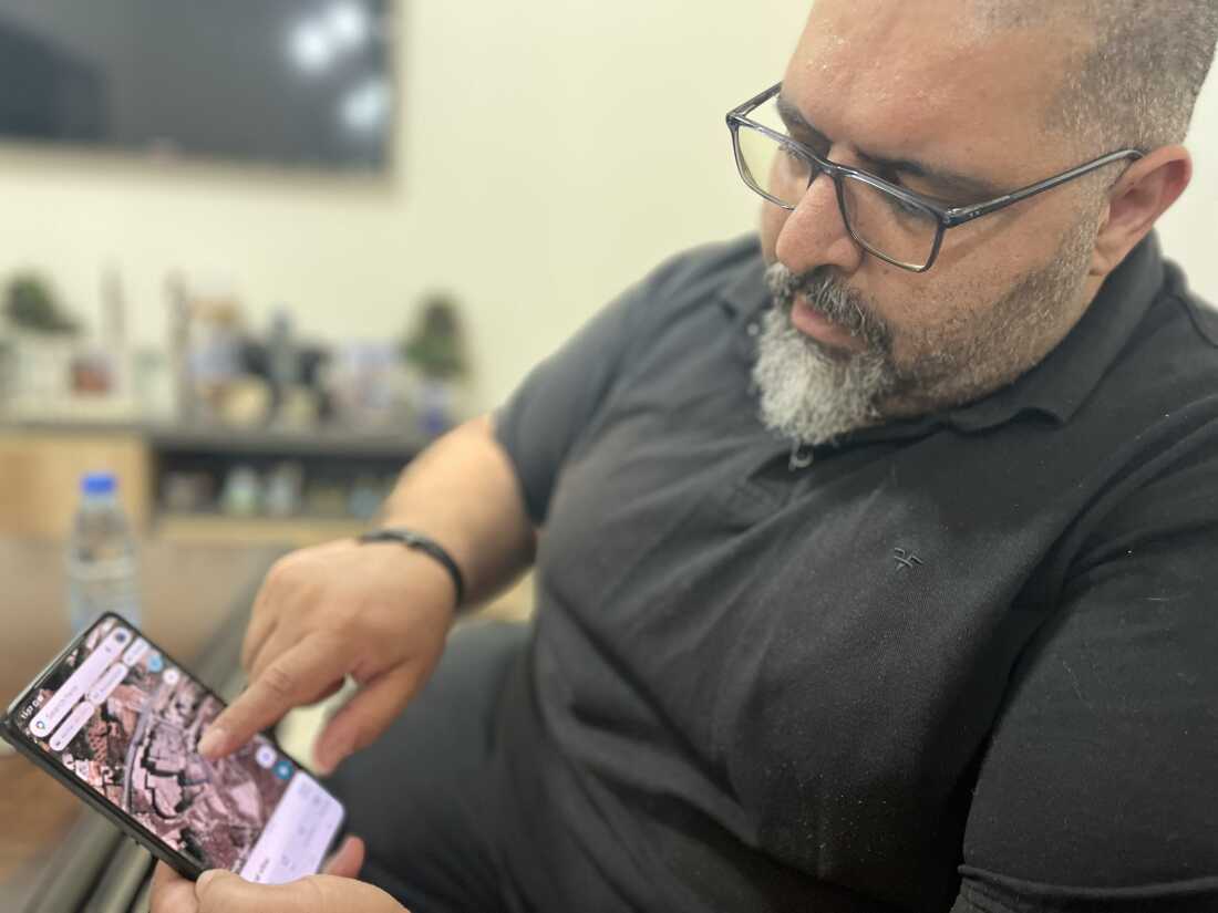
BEIRUT, Lebanon — Residents of Yaroun, southern Lebanon, rely on satellite imagery to assess destruction in their village. Mazen Farah uses these images to view his father’s demolished house, built after decades of working in the Gulf.
Despite evidence from satellite and videos, Israel denies damaging a convent in Yaroun. Locals face restrictions, relying on satellite data to check if their homes remain intact. They fear retaliation while capturing images of their surroundings.
“Israel prevents the displaced from returning,” said a local. “Residents pool funds for satellite images costing at least $112.”
The U.S. government’s requests led some companies to halt image provision. Geryes Saloum views satellite photos daily, hoping his decade-old home survived. Aid groups spent millions on infrastructure after past ceasefires, yet renewed conflict has widened.
Reports indicate destruction of cultural landmarks, including the Saint George Church. Despite denials, evidence points to attacks. Yaroun, once known for its beauty, now sees demolished greenery and houses up to 200 years old.
Historically, Israel invaded southern Lebanon in 1982. Hezbollah’s emergence countered occupation, prompting displacement. Many locals emigrated, maintaining ties to their homeland. Satellite images reveal further destruction during recent conflicts.
Citizens like Farah repurposed parts of their heritage, such as using satellite images for significant events, but now face challenges when accessing their properties. An environment marked by bulldozers and debris becomes commonplace for displaced residents.
Restoring peace remains a hope for the villagers. It is seen not only as a chance to return but also an opportunity to mend cultural and historic bonds disrupted by years of strife.