
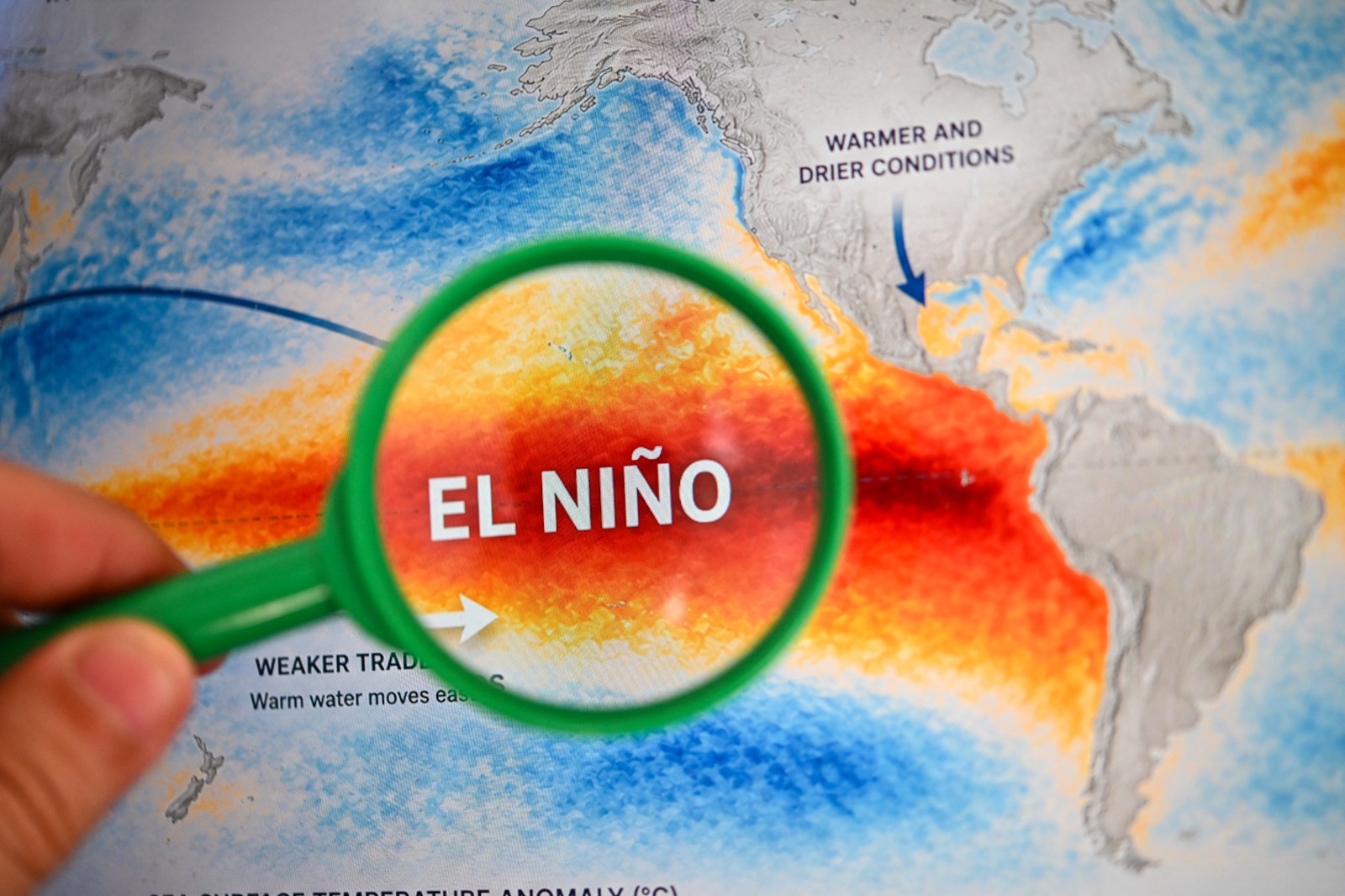
The prospect of a historic El Niño looms, poised to influence weather patterns across the United States this winter. Federal forecasters announced that this phenomenon is expected to intensify through the end of 2026. They predict a stronger than 90 percent chance it will become a very strong event in the fall and winter months.
Understanding El Niño
El Niño represents the warm phase of the El Niño-Southern Oscillation (ENSO), a recurring atmospheric cycle in the Pacific that impacts global weather. Its counterpart, La Niña, signifies the cool phase of this climate pattern.
Common effects of El Niño consist of stormier conditions in the Southern U.S., dryer climates in some northern regions, and changes in hurricane activity.
According to the National Oceanic and Atmospheric Administration’s (NOAA) Climate Prediction Center, there is a 75 percent likelihood that El Niño will reach historic intensity during the October-to-December timeframe, surpassing previous occurrences since 1950. This probability has risen from 69 percent as stated in their August update.
While such an impactful event raises the probability of traditional El Niño weather consequences, NOAA warned that these effects remain uncertain.
Potential Winter Effects of El Niño
AccuWeather’s long-range expert Paul Pastelok provided insights to Newsweek regarding possible weather changes due to El Niño. December might witness increased heavy rainfall in central and Northern California, possibly affecting the Northeast. Snow may blanket the Sierras.
Another potential storm pathway could emerge from the Gulf Coast to the mid-Atlantic, resulting in heavier rain for the Southeast and Tennessee Valley and severe thunderstorms in the Southeast and mid-Atlantic. Meanwhile, milder than average conditions might occur across the Great Lakes, Midwest, and Northeast.
Pastelok anticipates similar patterns in January and February, with a robust storm track hitting the West Coast, especially California and Nevada, and extending into the Four Corners area.
The Northwestern states might experience reduced snowfall, akin to most northern U.S. regions, with fewer cold air masses. The Gulf Coast, Mid-Atlantic, and Southeast might face intermittent wet and stormy weather.
Pastelok cautioned that while a strong El Niño template is expected, other factors could modify this forecast. AccuWeather continues to investigate these possibilities.
Climate Prediction Center Winter Outlooks
The Climate Prediction Center (CPC) has mapped temperature and precipitation predictions for December 2026 through February 2027.
The temperature outlook suggests above-normal warmth across a vast section of the U.S., spanning the Pacific Northwest, northern Rockies, through the Plains, Midwest, and Northeast. The most pronounced warm signal appears in northern regions.
Above-normal temperatures are also expected in much of the Southern U.S., despite less certainty in California and the Southwest.
The precipitation forecast indicates wetter-than-average conditions favored from Southern California across the Southwest, through the southern Plains and Gulf Coast, and extending to Florida and parts of the East Coast.